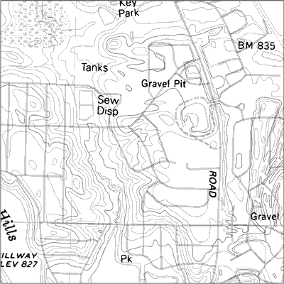
 DLGs (Digital Line Graphs) are digital vector representations of topographic and planimetric map features derived from either aerial photographs or from cartographic source materials such as USGS maps ad related sources, using manual and automated digitizing methods.
 This image is a Digital Line Graph (DLG) with raster text scanned from mylar separate. Separate feature layers allow for selection or omission of map features, and the vector data provides high quality line work for publication of geological maps.
No comments:
Post a Comment